Explore Old Havana, 1870: Intramuros in 3D
Explore Old Havana’s businesses in an interactive 3D map. Search 1,525 listings from the Almanaque Mercantil of 1870 by owner or address.
The research behind the directory
CLAUDIA BORRAJO compiled and shared the historical directory that makes this collection possible. While studying History, Claudia gathered these entries during an assignment for the Oficina del Plan Maestro de Restauración de La Habana. She consulted B. May y Cía., Almanaque Mercantil para 1870 (La Habana, 1870) at the Library of the Palacio de los Capitanes Generales in the Plaza de Armas. Cuba Research Project thanks her for contributing this research.
The 1,525 records include business names, owners’ names where available, and business or home addresses. They offer a way to connect a name in your family research with a trade and an address in nineteenth-century Havana.
Explore the directory in 3D
Cuba Research Project developed the interactive city view using this directory. Select Explore the city to search by name, trade or street, follow a street through the model, and open the record behind a light.
Each light represents an entry we could place using its historical address. Locations are derived from house-number concordances and street information; they are not verified building locations. Entries that cannot be placed remain searchable in the directory and appear under Not placed in the map.
The model uses present-day building outlines from OpenStreetMap, with illustrative heights. It helps you explore the geography of the directory; it is not an exact reconstruction of Havana’s buildings in 1870. The map’s How this map was made panel explains the method and its limits.
Abbreviations in the source: Cía = Compañía; Hno = Hermanos.
A historical map of Havana, 1855
For an earlier view of the city, open the high-resolution 1855 map below. This is a separate historical source from the interactive 3D model.
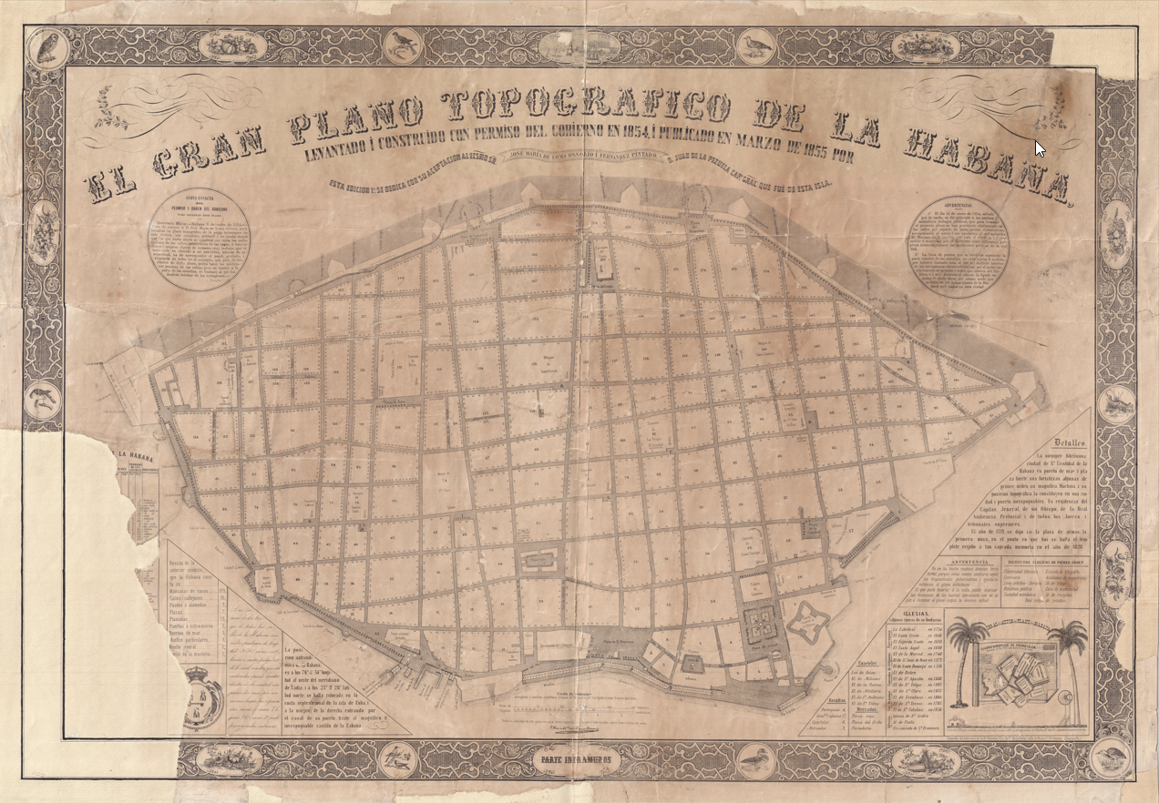
View or download the 1855 map (PDF, 4 MB).
Search the archive · All collections · Sitemap